Drones, once primarily the domain of military operations, have rapidly become invaluable tools in scientific research. Your understanding of the natural world is now enhanced through the eyes of these unmanned aerial vehicles (UAVs). Their capability to reach inaccessible areas and collect high-quality data has transformed how you observe and interact with various environments. As you embrace this technology, it’s essential to recognize the scope and impact of drones on scientific endeavors.
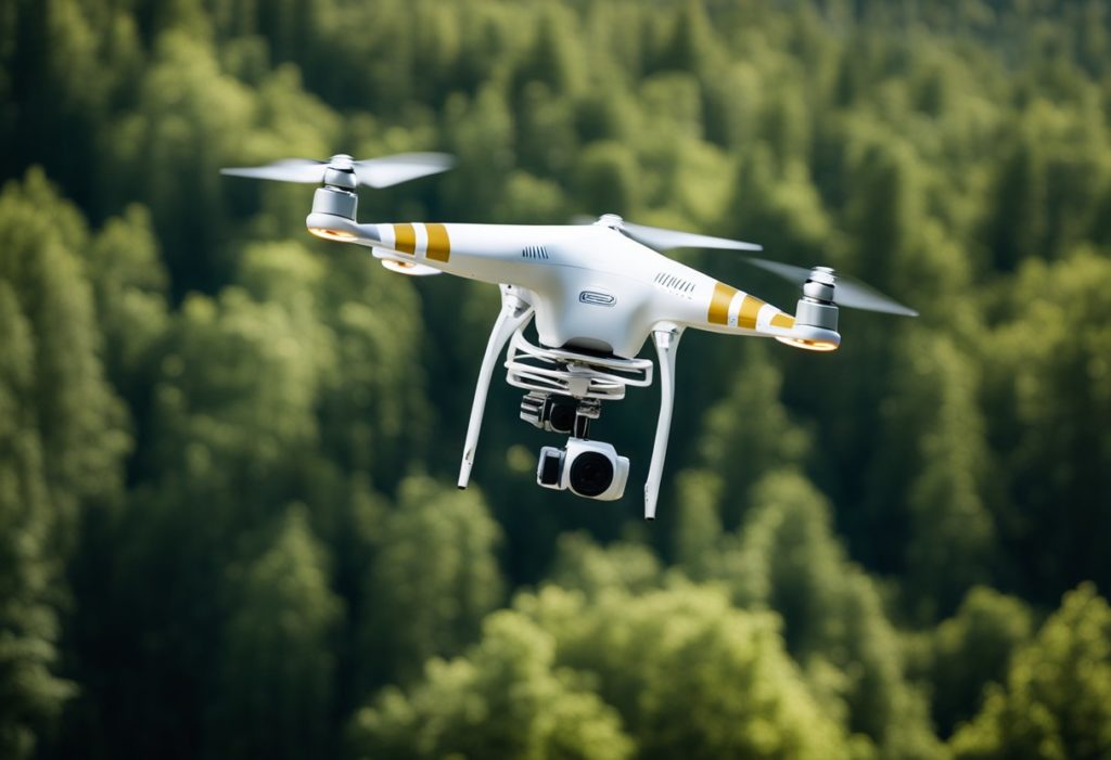
Equipped with sensors and imaging equipment, drones provide you with a unique vantage point. They are used to monitor wildlife populations without disturbing them, track environmental changes, and gather geospatial data that was once challenging to obtain. Your use of these nimble machines underscores a shift towards more dynamic and real-time data collection methods. This leap in data gathering capabilities has led to innovative approaches to research and an improved understanding of complex ecological systems.
In agricultural research, drones give you the ability to closely monitor crop health and optimize agricultural practices. They efficiently assess plant growth, identify pest infestations, and even aid in the precise application of water and fertilizers. Your adoption of drone technology in this field contributes to increased yields and sustainable farming practices, reflecting a broader trend of technological integration into scientific methodology.
Drones, also known as UAVs (Unmanned Aerial Vehicles), have revolutionized data collection in scientific research by offering new perspectives and unparalleled access to remote areas.
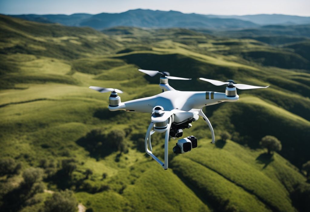
Your research on the environment benefits greatly from drones. They enable consistent monitoring of vegetation and provide crucial data on plant health and forest dynamics. In wildlife conservation, UAVs have significantly improved population tracking and species management. For example, researchers have used drones equipped with cameras and AI to count seabird colonies with an accuracy of up to 98%, reducing the errors of traditional manual surveys. By capturing high-resolution images from above, drones provide a more precise and non-intrusive method for monitoring wildlife populations, minimizing human disturbance while enhancing data reliability.
Drones play a vital role in measuring atmospheric conditions, providing you with data on temperature, gas composition, and more, enhancing your understanding of climate change. UAVs reach areas impacted by severe storms or flooding, supplying first-hand information about atmospheric phenomena and climate dynamics which is essential for your research on the effects of climate change.
Drones have also expanded the frontiers of volcanology by safely collecting data from hazardous environments. At Manam volcano in Papua New Guinea, researchers deployed UAVs equipped with gas sensors to measure sulfur dioxide and carbon dioxide emissions. These drones provided the first direct CO₂ readings ever recorded at the site, revealing that Manam ranks among the world’s top volcanic carbon emitters. This method offers a safer, more precise alternative to ground-based measurements, helping scientists refine global carbon cycle models and improve hazard assessments.
Drones are transforming emergency medical response by reducing critical wait times for life-saving interventions. In Sweden, drones carrying automated external defibrillators (AEDs) were deployed alongside ambulance calls. On average, drones arrived 3 minutes faster than ambulances, allowing bystanders to administer defibrillation earlier. In some cases, this quick response was the difference between life and death. This innovation demonstrates how UAVs can bridge critical response gaps, particularly in rural areas where medical assistance is often delayed.
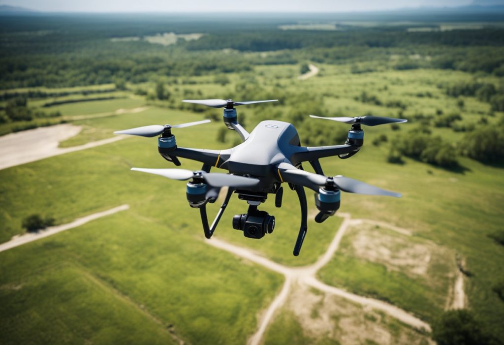
For your geographical studies, drones quickly collect topographical data, aiding in creating detailed NGI (Next Generation Imaging) maps. A striking example comes from an archaeological site in the Caucasus, where drones captured 11,000 high-resolution images of an ancient 3,000-year-old fortress. These images were used to generate 3D models, revealing that the fortress was over 40 times larger than originally estimated. This breakthrough enabled researchers to fully document the settlement, a task that would have been impossible using traditional ground surveys. During disasters, UAVs assess damage and aid in your disaster response and recovery strategies by scouting flooded regions or areas hit by storms, offering real-time insights into terrain changes and damage levels.
In agriculture, your research leverages drones for precise data collection on crop health and soil conditions. This contributes to better crop management and yield predictions. UAVs provide a highly efficient method for precision agriculture. Studies have shown that drone-assisted spraying can reduce pesticide and fertilizer use by 15% to 30%, while improving crop yields by approximately 10%. Equipped with multispectral cameras and GPS-guided spray systems, drones enable farmers to pinpoint problem areas—such as pest outbreaks or nutrient deficiencies—and apply treatments only where needed. This not only optimizes agricultural output but also minimizes environmental impact by reducing chemical runoff.
Drones serve an important function in advancing your oceanographic studies by sampling water for temperature and pollutant levels. In polar research, UAVs facilitate the study of inaccessible areas like Antarctica. They provide valuable data on ice thickness, melting patterns, and maritime wildlife without the usual risks associated with such harsh environments.
The evolution of drone technology has significantly enhanced their application in scientific research. Key advancements have been made in the areas of flight endurance, data collection, analytical software, and design tailored to research needs.
Longer flight times and greater independent operational capabilities are crucial improvements you’ll find in today’s unmanned aerial vehicles (UAVs). Through the development of more efficient batteries and lightweight fuel cells, drones can now remain airborne for extended periods, reducing the need for frequent landings. Autonomy in drones has progressed with advanced GPS and AI-based navigation systems, which allow them to perform tasks with minimal human intervention, even beyond the line of sight.
| Aspect | Advancements in Technology |
| Batteries | Higher energy density, faster charging |
| GPS | Improved accuracy, reliable under adverse conditions |
| Autonomy | Enhanced AI for independent decision-making |
The integration of sophisticated sensors and cameras has improved the data quality collected by UAVs. The use of high-resolution cameras, LIDAR, and radar systems has made it possible to capture detailed imagery and terrain information. These tools provide high-quality spatial and temporal data crucial for analysis.
Your drone’s capabilities are multiplied by the software that powers it. Specialized software for flight control, data collection, and analysis has seen considerable improvements, offering better user experience and data insights. These software systems often come with necessary licenses and updates to ensure legal compliance and up-to-date functionality.
The physical design of UAVs has evolved to suit various research applications. Variables such as wingspan, altitude capabilities, and onboard equipment reflect the adaptability of drone technology. Drones are built with consideration for the research environment, whether it requires a silent operation, stability in windy conditions, or compact design for transportation.
Altitude: Some drones are designed to operate optimally at high altitudes.
Wingspan: Larger for stability or smaller for agility, depending on the requirement.
Line of Sight: Innovations in technology have allowed for operations beyond the pilot’s direct line of sight.
As drones revolutionize scientific research, seize the opportunity to elevate your projects. From environmental monitoring to agricultural research, our team is here to assist you in harnessing the power of drone technology. Contact us today and let’s take your research to new heights!